About Me
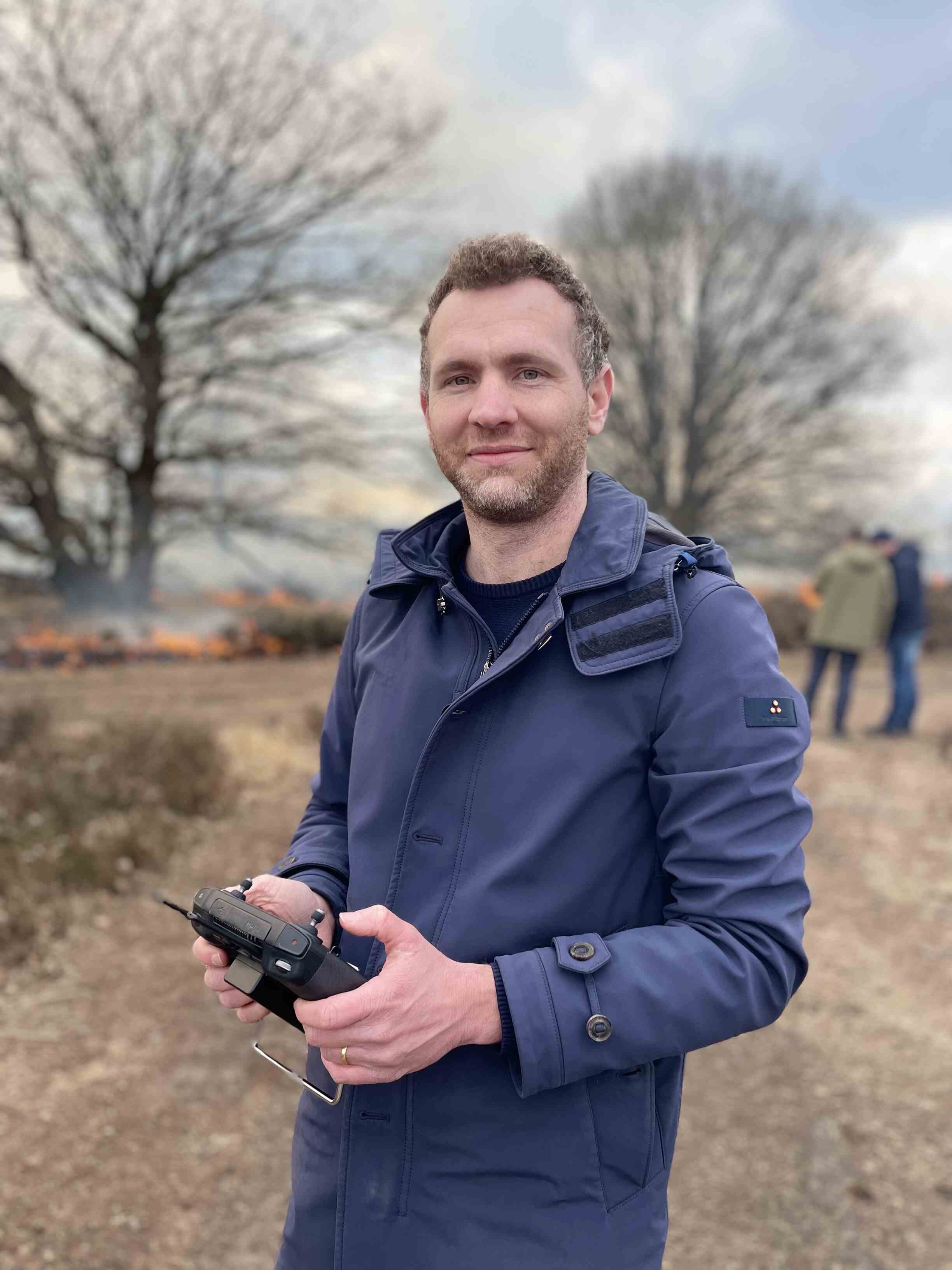
Sam Ottoy is a researcher specialising in the domains of geographical information systems, urban ecosystems, wildfire risk assessments and drone remote sensing. He holds a PhD in Bioscience Engineering from KU Leuven.
Research Interests
- Urban greening
- Wildfire risk assessments
- Geographical Information Systems
- Drone remote sensing
Highlighted Publications
Ottoy, S., Nedelkou, J., De Witte, W., De Vocht, A. (2025). Mobile LiDAR applications to monitor the urban forest in the city of Hasselt, Belgium. Urban Forestry & Urban Greening, 114, Art.No. 129171. https://doi.org/10.1016/j.ufug.2025.129171
Choopani, A., Van Hout, A.W., Stavrakoudis, D., Gitas, I., Van Meerbeek, K., Ottoy, S. (2026). UAV LiDAR–MS Fusion and a Multi-Task Model for Overstory and Understory Fuel Type Mapping in Belgium. Presented at the International Fire Behaviour and Fuels Conference, Hobart, Tasmania, Australia, 28 Apr 2026-01 May 2026
Metsu, C. (corresp. author), Maes, W.H., Ottoy, S., Van Meerbeek, K. (2026). theRmalUAV: An R package to clean and correct thermal UAV data for accurate land surface temperatures. METHODS IN ECOLOGY AND EVOLUTION, 17 (2), 488-496. https://doi.org/10.1111/2041-210x.70196
Van Hout, A.W., Choopani, A., Stavrakoudis, D., De Witte, W., Gitas, I., Van Meerbeek, K., Ottoy, S. (2025). Estimation of Burned Fuel Volumes in Heathland Ecosystems Using Multitemporal UAV LiDAR and Superpixel Classification. Drones, 9 (9), Art.No. 615. https://doi.org/10.3390/drones9090615
Ottoy, S. (corresp. author), Truyers, E., De Block, M., Lettens, S., Swinnen, W., Broothaerts, N., Hendrix, R., Van Orshoven, J., Verstraeten, G., De Vos, B., Vancampenhout, K. (2022). Digital mapping of soil organic carbon hotspots in nature conservation areas in the region of Flanders, Belgium. GEODERMA REGIONAL, 30, Art.No. ARTN e00531. https://doi.org/10.1016/j.geodrs.2022.e00531
Collaborators, Partners & Funders


- PXL University of Applied Sciences and Arts
- KU Leuven